1
/
of
1
My Store
Isle of Man Street Plan A5
Isle of Man Street Plan A5
Regular price
£2.99 GBP
Regular price
Sale price
£2.99 GBP
Unit price
/
per
Tax included.
Couldn't load pickup availability
Published by the Isle of Man Government and based on the Department of Infrastructure’s mapping data and other information.
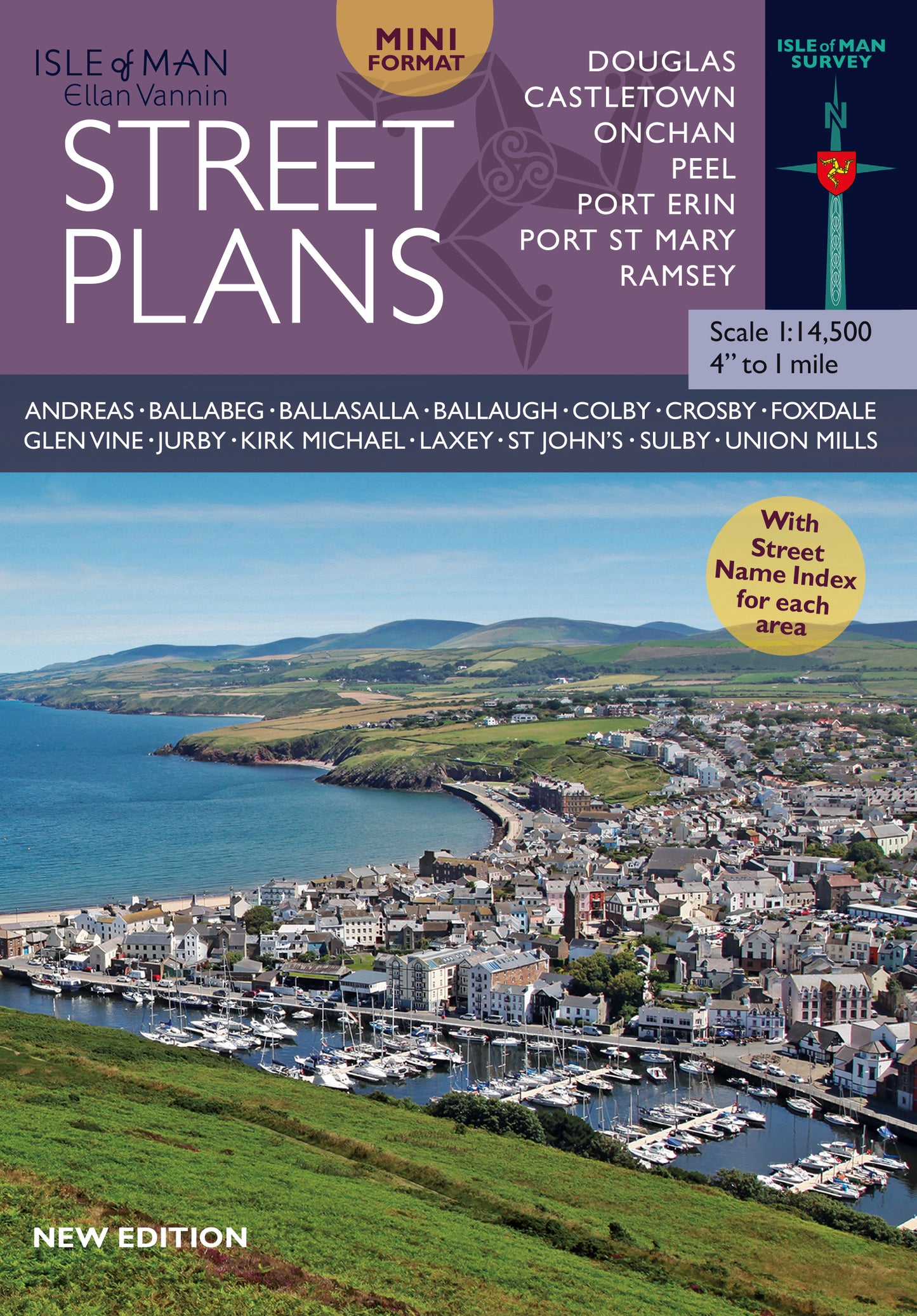
The street plans show all of the main built up areas on the Isle of Man plus a number of the smaller settlements with a street index for each area.
This is an indispensable guide to the island, valuable for tourists and residents alike.
Andreas – Sulby – Laxey – Kirk Michael – Crosby – Ramsey – Onchan – Douglas –
Ballasalla – Castletown – Port Erin – Port St Mary – Peel.
SCALE: 1:10,000 (approx 6 inches to 1 mile), Softback, 21cm x 14.7cm. 25 pages.
Share


